
See everywhere you've spotted.
Every aircraft sighting, on the map.
Every sighting is pinned to where you were when you caught it, drawn from your photo's GPS. See each aircraft's last-seen location as a historical data point — your spotting map, not a live radar.
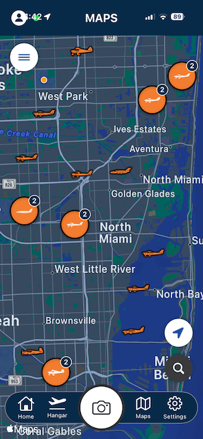
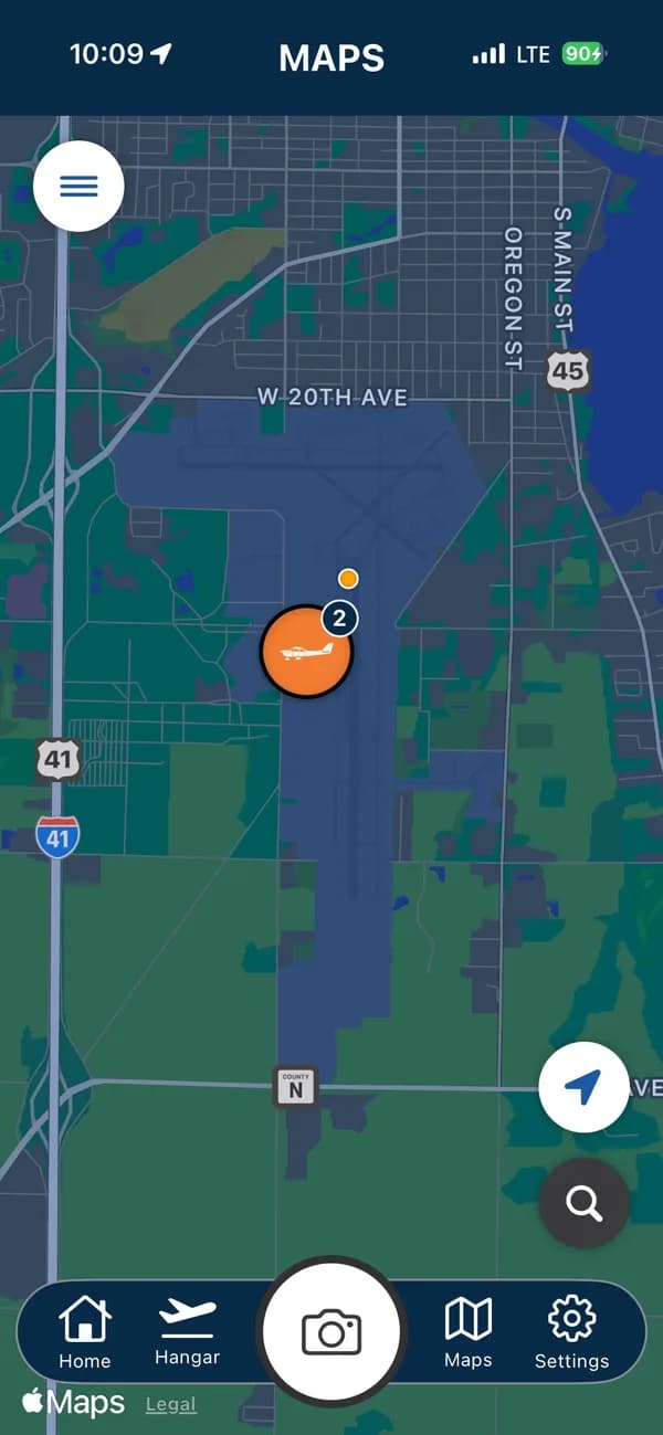
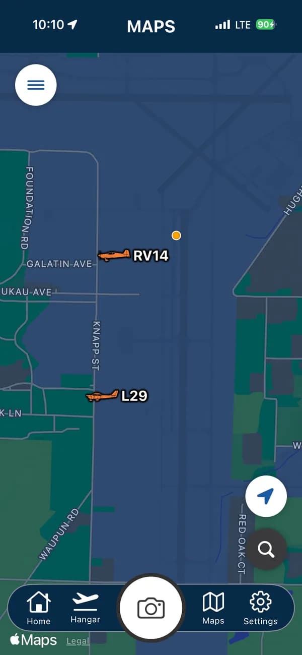


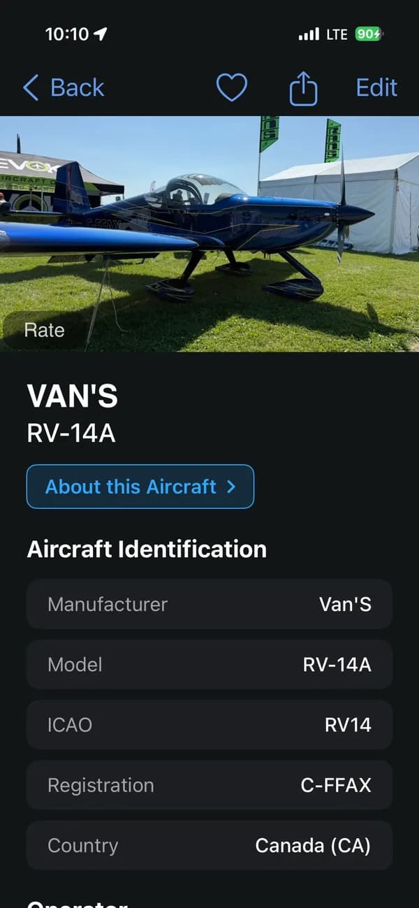


Pinned to the exact spot you stood.
Tap any photo on the map to open the aircraft.
Every sighting lands on the map at the precise spot you were standing when you pressed the shutter, drawn straight from your photo's GPS. Zoom into an airfield and your catches sit right where you found them — the ramp you shot from, the fence line you walked, the exact patch of grass at Oshkosh.
Tap any photo on the interactive map to open that aircraft: the full identification, specifications, and sighting details, plus the encyclopedia entry for the type. It's the whole story behind the tail number, one tap from the pin.
And because every catch is dated, you can follow the same aircraft year after year and see exactly where it parked each time. Watch a favorite return to the same show season after season, or trace how far it traveled between your sightings — a living record of where your planes have been, and where you stood to meet them.
- See where you were standing when you spotted each aircraft.
- Each aircraft's last-seen location as a historical data point.
- Built from your photos — a map of your own spotting history.
Start your collection today.
Free to download. Your next sighting could be your rarest yet.